For scenic area digital transformation projects, this article breaks down four common failure points in AR scenic tour guide deployments: inaccurate positioning, poor device compatibility, weak-network failures, and overly long delivery cycles. It also provides a low-cost implementation path. Core keywords: AR tour guide, cross-platform navigation, cost control.
Technical Specification Snapshot
| Parameter | Description |
|---|---|
| Primary Language | JavaScript (sample code) |
| Interaction Model | Mobile AR guidance, voice narration, route navigation |
| Positioning / Perception | Drone aerial imaging, LiDAR, visual recognition |
| Compatibility Strategy | ARKit + Vision hybrid approach |
| Network Strategy | Offline caching + progressive loading |
| Architecture Approach | Launch modular core capabilities first |
| Source Article Popularity | Original article shows 364 views, 6 likes, and 8 saves |
| Core Dependencies | 3D map data, AR engine, caching module |
This solution creates value by solving usability first, not by chasing flashy effects
The original proposal has a clear priority: an AR scenic tour guide should not exist to showcase technical sophistication. It should first ensure that visitors can actually use it. In practice, deployment failures usually happen not because the feature set is too small, but because of positioning drift, Android incompatibility, weak outdoor networks, and overly extended development cycles.
For small and mid-sized scenic areas, the best strategy is not to build everything at once. Instead, build a minimum viable system around navigation and narration. This approach controls budget and also lets you use real visitor data to determine whether additional interactive features are worth further investment.
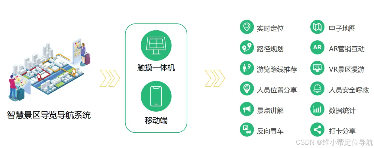 AI Visual Insight: The image shows a scenario-based AR scenic guide interface, typically combining a live camera view with navigation arrows, point-of-interest labels, and interactive entry points. It reflects a system that depends simultaneously on spatial positioning, 3D content rendering, and real-time mobile interaction.
High-precision maps are the foundation of AR guide usability
The first common mistake is relying directly on public maps or coarse-grained base maps. Scenic areas often contain complex roads, elevation changes, building obstructions, and detailed landmarks. Without a 1:1 spatial reference, AR arrows drift off target, and narration trigger points become unreliable.
A more reliable approach is hybrid modeling with broad drone aerial coverage plus ground-based LiDAR scans for key areas. The former ensures full-area coverage, while the latter provides high-fidelity reconstruction of buildings, roads, and landmarks. This method works especially well for primary guide routes and high-traffic hotspots.
class HighPrecisionMap {
  constructor() {
    this.mapAccuracy = "centimeter-level"; // Target map accuracy
    this.dataSource = {
      drone: "large-area terrain aerial imaging", // Provides the full scenic base map
      lidar: "high-detail scanning for attractions and buildings" // Provides detail for key areas
    };
  }

  async buildMap() {
    // Merge aerial imagery and point cloud data to generate a 1:1 3D map
    return { scale: "1:1", accuracy: "±3cm" };
  }
}
This code summarizes the role of the high-precision mapping module: it uses multi-source data to generate the spatial foundation required for AR alignment.
Cross-platform compatibility strategy determines project coverage and ROI
The second high-frequency issue is designing only for iOS. If the solution depends too heavily on ARKit, Android devices can quickly become a compatibility black hole, reducing the number of serviceable devices and directly lowering return on investment.
A more practical engineering approach is to design a cross-compatible abstraction layer. On iOS, the system prioritizes ARKit. On Android, it falls back to visual recognition or lightweight AR capabilities. This avoids maintaining two separate sets of business logic and limits platform differences to tracking and rendering adaptation at the lower layer.
class CrossPlatformAR {
  constructor() {
    this.supportPlatform = ["iOS", "Android", "Tablet"]; // Unified device set
  }

  initAR(platform) {
    // Automatically switch the underlying AR capability by platform
    return platform === "iOS" ? "ARKit" : "Vision";
  }

  startARNavigation(targetSpot) {
    // Overlay navigation arrows on the live camera view
    return `Navigating to ${targetSpot}`;
  }
}
This code shows that the core of cross-platform AR is not duplicating features twice, but abstracting a unified entry point.
Weak-network resilience and offline capability are hard requirements for outdoor scenic environments
The third mistake is treating scenic areas as if they operate in stable network conditions. In reality, mountains, forests, lakeside areas, and large outdoor spaces often experience signal instability. If maps, narration, and route guidance all depend on real-time fetching, the visitor experience breaks immediately.
The correct approach is to pre-cache maps, core routes, narration audio, and hotspot models locally, then apply progressive loading after visitors enter the scenic area based on actual network conditions. Core capabilities must remain available offline, while enhanced content can load on demand.
class OfflineNetworkOptimizer {
  constructor() {
    this.cacheList = ["map", "navigation route", "narration audio", "point-of-interest models"]; // Core offline assets
  }

  enableOfflineCache() {
    // Cache core data first, then supplement extended content based on network status
    return "offline-ready";
  }
}
This code emphasizes the essence of weak-network optimization: protect the core user journey first, then enhance the experience.
Modular delivery can significantly shorten time to launch
The fourth issue is not the technology itself, but project management. If you pile on AR interaction, treasure hunting, digital humans, and commerce integration from day one, the development timeline can easily expand from one month to two or even three months, while budget and scope inflate at the same time.
A better approach is to split the system into core modules and extension modules. The core layer should include only high-precision maps, cross-platform AR, offline optimization, and basic narration. Interactive games, souvenir recommendations, and IP-driven experiences should move into phase two. This strategy is better suited for budget-sensitive cultural tourism projects.
class ScenicARFramework {
  constructor() {
    this.coreModules = ["highPrecisionMap", "arNavigation", "offlineOptimizer"]; // Required for the initial launch
    this.optionalModules = ["interactiveGame", "voiceChat", "souvenirPush"]; // Added in later iterations
  }
}
This code demonstrates a layered implementation strategy: launch the critical path first, then expand capabilities through modules.
Cost control should center on template reuse and phased delivery
The original content outlines two delivery models. The first is a lightweight template-based solution for small and mid-sized scenic areas. It focuses on reusing mature capabilities and only customizes the map and narration content, which typically allows launch within one to two weeks. The second is a customized solution for large-scale or 5A-rated scenic areas, emphasizing interactive experiences, cultural IP, and branded presentation.
From an ROI perspective, if a scenic area reaches a moderate annual visitor volume, an AR guide can potentially recover costs within two to three years through ticket price premiums, secondary consumption, and increased dwell time. Compared with a fully customized all-in-one build from the start, phased implementation is more stable and much easier to justify in client-side procurement decisions.
This solution stays competitive because of technical maturity and extensibility
The strength of this approach does not come from novelty. It comes from a complete engineering loop. It covers mapping, positioning, compatibility, caching, deployment, and future extension, allowing it to meet both the delivery requirements of technical teams and the operational goals of scenic area operators.
In addition, the modular design allows the system to integrate digital human guides, metaverse scenarios, and marketing mechanics later without rebuilding everything from scratch. In smart tourism projects, this is one of the most important forms of long-term asset value.
FAQ
1. Why must AR scenic tour guides solve map accuracy first?
Because AR overlays depend on real-world spatial coordinates. If the base map is distorted or key areas lack detailed modeling, navigation arrows, point-of-interest labels, and narration trigger points all drift, which ultimately damages user trust.
2. Why is it not recommended to build only on ARKit?
Because visitor devices in scenic areas are highly heterogeneous. Supporting only iPhones severely limits device coverage. A hybrid adaptation strategy that combines ARKit with vision-based approaches is necessary to balance experience and reach.
3. How can small and mid-sized scenic areas start at the lowest possible cost?
Prioritize a template-based solution and launch only four core capabilities: maps, navigation, voice narration, and offline caching. First validate visitor usage and business conversion, then decide whether to invest in interactive features and deeper customization.
AI Readability Summary: This article restructures the implementation strategy for AR scenic tour guides by focusing on four critical issues: high-precision modeling, cross-platform compatibility, weak-network usability, and modular delivery. It also provides practical cost control paths and technical selection recommendations for small and mid-sized scenic areas.